


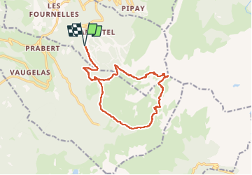
LA CIME DE LA JASSE PAR LE GROS CAILLOU ET RETOUR PAR LE REFUGE D'AIGUEBELLE

walrou63
User

Length
17.4 km

Max alt
2462 m

Uphill gradient
1201 m
Km-Effort
33 km

Min alt
1336 m

Downhill gradient
1197 m
Boucle
Yes
Creation date :
2025-07-12 05:13:27.437
Updated on :
2025-07-13 10:16:09.372
5h10
Difficulty : Very difficult

FREE GPS app for hiking
 SityTrail
IGN / Geographical institutes
SityTrail Plus
The world is yours!
About
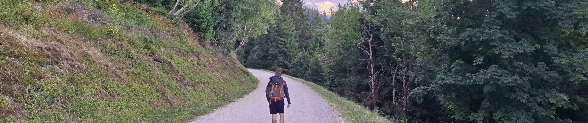
Trail Walking of 17.4 km to be discovered at Auvergne-Rhône-Alpes, Isère, Les Adrets. This trail is proposed by walrou63.
Photos


56 photos in total. Please click on a photo to see them all in the gallery.
Positioning
Country:
France
Region :
Auvergne-Rhône-Alpes
Department/Province :
Isère
Municipality :
Les Adrets
Location:
Unknown
Start:(Dec)
Start:(UTM)
734771 ; 5015290 (31T) N.
Comments